
New map of Roman roads dispels 'all roads lead to Rome'
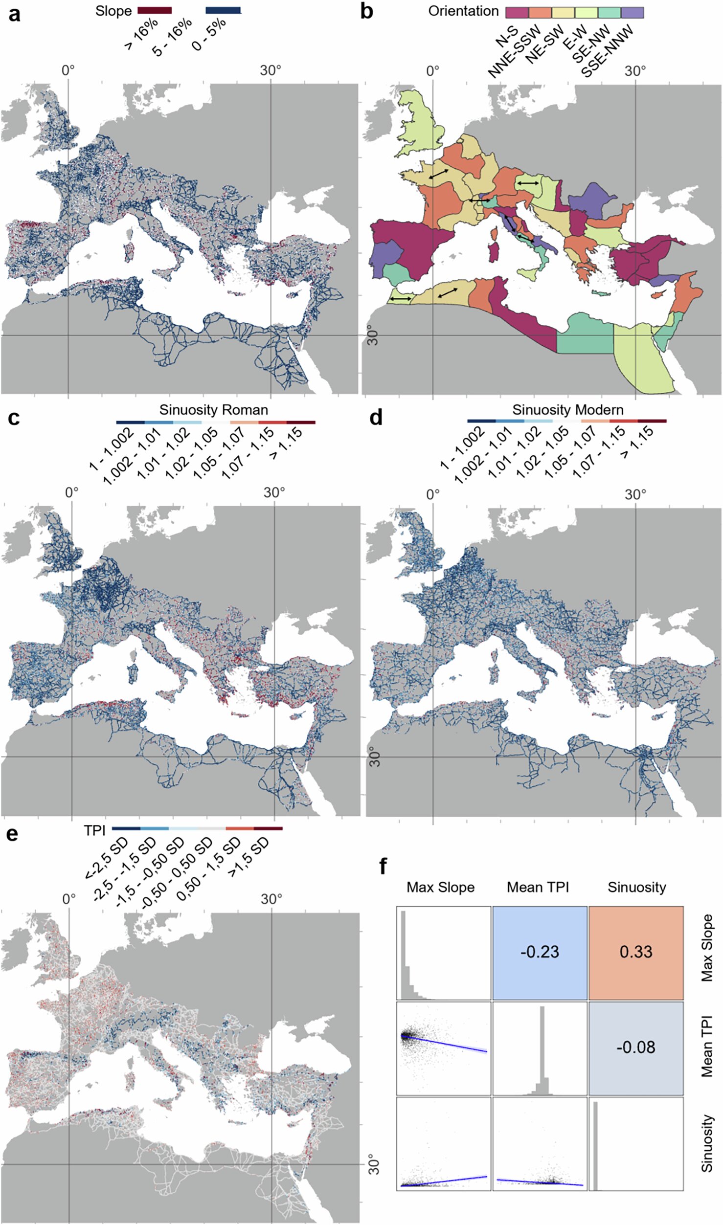
A team from Aarhus University, Queen Mary University of London and other European institutions mapped almost 300,000 kilometers of Roman roads, the most detailed picture yet of the empire's network. Published in Nature Communications on September 15, the study challenges the old saying that all roads lead to Rome. Not straight, it turns out. Roman engineers bent routes around mountains, rivers and valleys, using terracing, bridges and retaining walls to cross tough terrain. Dr. Adam Pazout, the study's lead author, said provincial capitals often served as "vital crossroads, mediating regional overland communications."
Historians and travelers now have a clearer picture of how the Roman Empire actually linked its cities and provinces.
Source: Not all roads lead to Rome: Research challenges what we think we know about Roman roads (phys.org).
Written by the HappyGood desk from the primary source linked above and checked against it. Every story links its source. Corrections: hello@happygood.news.
More from the archive
- Blind Herefordshire writer gains international acclaim for debut short film Blind Faith October 18, 2026
- At 91, Barrie man stays active every day at East Bayfield Community Centre October 18, 2026
- Wrexham care home residents take nostalgic train ride through Dee Valley October 17, 2026
- Roslin pupils sow wildflower meadow by hand at Roslin Glen October 16, 2026
- Oyster sanctuary network in North Carolina's Pamlico Sound reaches 500-acre goal October 16, 2026